
Wylie Neighbors: What a Block Record Shows
Official sources describe land, addresses, registration, and community contacts in different ways. The useful question is not simply who might be nearby, but which source can support a specific fact about a particular side of the block. Start with the city map, then follow the parcel's county and stable identifiers before drawing conclusions from an owner name or mailing address.
| Source | What It Shows About a Block | Access |
|---|---|---|
| Wylie Owner Parcels | Polygon shape, county, address status, source reference, and appraisal identifiers for nearby parcels | Public ArcGIS layer; illustrative, not a legal boundary document |
| Wylie Site Address Points | Assigned delivery address, unit information, municipality, status, property ID, and county | Public feature layer with query and distance capability |
| Collin CAD | Owner, mailing and situs address, legal description, value, exemption, and property identifiers | Public search; use the county indicated by the GIS field |
| Collin voter information | Registered and mailing address, districts, registration dates, status, and voter history in an authorized list | Individual lookup or written Excel-list request; protected fields omitted |
| City HOA Directory and management certificates | Subdivision, phase, association or manager contact channel, and recorded-association context | Association-level reference, not a membership list |
Ownership and occupancy are different subjects. A CAD card identifies the appraisal owner and may show a mailing address; it does not prove who is physically present. A voter result can identify a registered voter while omitting other people at the same address. An association directory identifies a community contact path, not a private roster of Wylie neighbors.
Trace Wylie Neighbors From Parcel to CAD
The dependable adjacent-parcel workflow runs from one verified address outward through geometry, then back to the appropriate appraisal record. House numbers alone are unreliable at corner lots, cul-de-sacs, drainage tracts, and sites with more than one delivery point. The parcel edge and county field are the better starting points.
- Locate the target address in CAD or the Wylie GIS and save the parcel geometry, county, address status, and property identifier.
- Use the Owner Parcels map to click neighboring polygons or use a small map extent or distance query. Collect each neighboring polygon's property ID, county, source reference, and address-status field.
- For each polygon, route to the matching county appraisal district. In Collin County, compare the returned owner, mailing address, situs, and legal description with the GIS identifier.
- Keep an evidence row for each property rather than assuming the sequence of street numbers is the sequence of parcels. For a recorded ownership question, verify the legal description with the responsible County Clerk.
This is the required parcel → neighboring polygons → property IDs and county → CAD flow. The GIS service combines source material from Collin, Dallas, and Rockwall appraisal districts, so a Wylie mailing name does not authorize a Collin-only search. For a full named-street sequence rather than an immediate block, use the Wylie street directory.
Wylie Neighbors Need the County Field First
Wylie is a three-county records problem. The Owner Parcels layer identifies Collin CAD, Dallas CAD, Rockwall CAD, and City of Wylie GIS as source agencies, and its COUNTY field is the routing clue. A single parcel can carry a Wylie municipality, a 75098 postal identity, a Collin, Dallas, or Rockwall county field, a school-district field, and an owner's mailing city elsewhere. Those descriptions are not contradictions because they represent different boundaries and purposes.
Read that field before ordering a deed, checking a tax record, or treating a nearby property as part of the same local chain. The city map is a discovery surface and expressly illustrative. CAD and the County Clerk record are the confirmation sources for ownership and recorded instruments. This geography check is especially important near city limits, ETJ areas, and borders where a parcel can look like a Wylie block on a map while its formal record trail belongs elsewhere.
Wylie Neighbors at Units and Service Addresses
A parcel polygon and a service address are not interchangeable. The Site Address Points layer includes full address number, full road name, full address, unit type and unit number, municipality, site status, property ID, county, emergency-service information, and related fields. It can clarify why a single parent parcel has several delivery points or why a map label appears different from the CAD card.
Open the Wylie Site Address Points layer before treating a unit, suite-style point, or multiple-address parcel as one household.
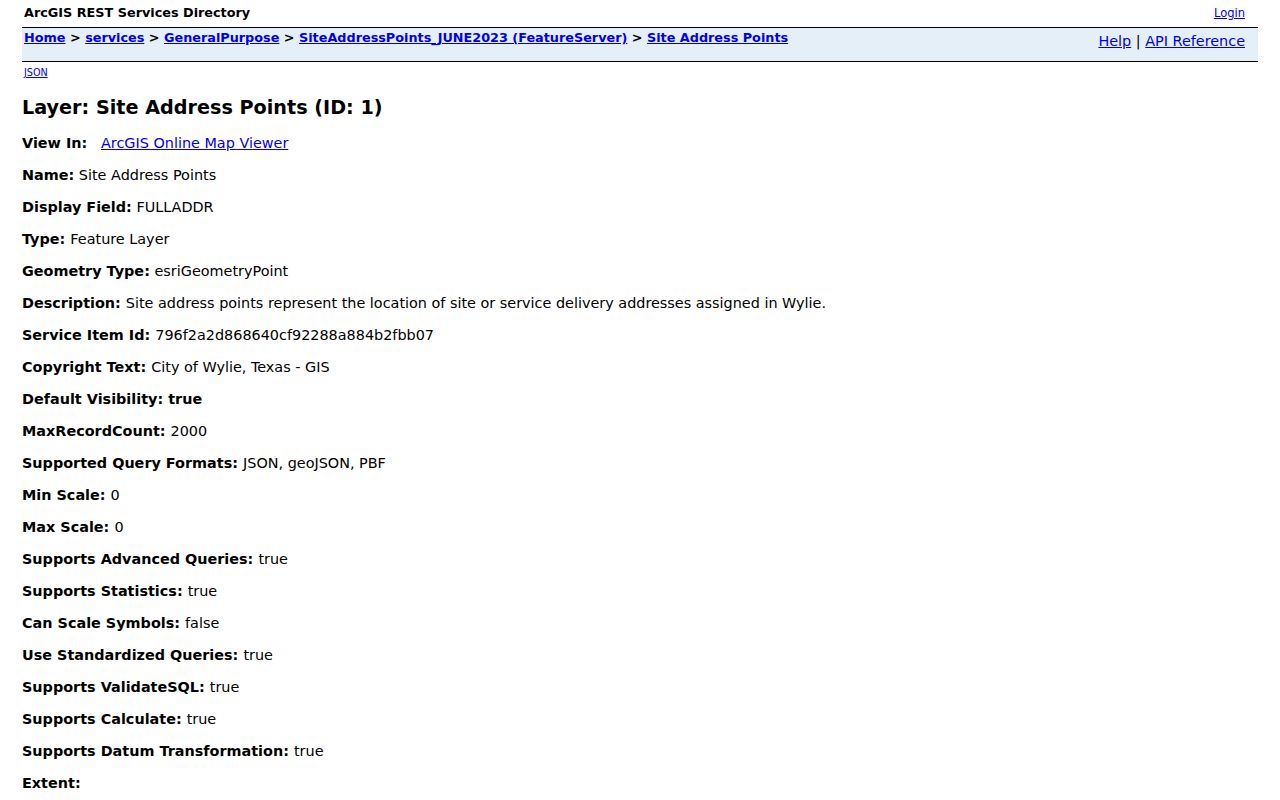
The layer's assigned-address and status fields are useful for matching a service location to a parcel, but they do not identify every person associated with that address.
Site Address Points support query, pagination, statistics, and distance operations. Preserve the full address, unit details, county, and property ID in the research notes. Then compare those fields to the parcel and CAD result rather than collapsing a delivery point into an ownership claim.
Wylie Neighbors and the Owner Parcels Layer
The Owner Parcels service is a polygon layer with public query, ordering, pagination, extent, distance, and distinct-result support. Its accessible field inventory includes Owner Identification Number, Document Index Number, Owner Type, Stated Area, Last Update, County, Address Status, Appraisal Property ID, and Appraisal Geo ID. Those fields are much more useful for controlled routing than a vague visual scan of a basemap.
View the Wylie Owner Parcels service to see the official map layer used for that first geometry pass.
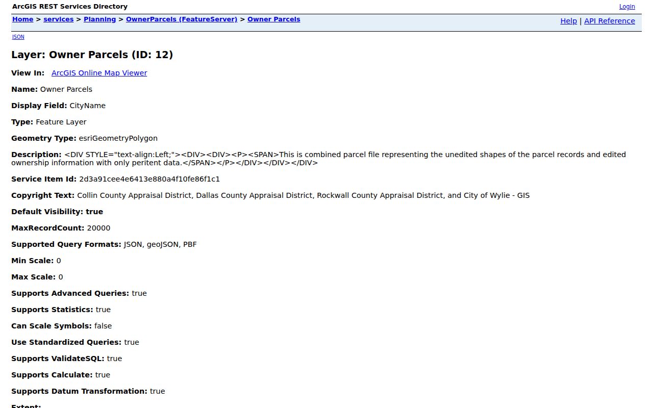
After a parcel is selected, the appraisal property ID and county make the CAD confirmation step reproducible and distinguish a shared edge from a merely nearby street number.
CAD may display a homestead exemption as part of its appraisal record. That can be evidence consistent with owner occupancy, but it is not proof that all people at the address are owners or that the owner is currently present. Preserve the mailing-versus-situs distinction every time.
Wylie Neighbors in the Collin Voter File
Collin County's individual voter search requires first name, last name, and date of birth. A complete county voter list is requested in writing through Collin Elections or the Elections Store and is delivered as Excel. It can include county and state voter ID numbers, registered and mailing addresses, districts, registration dates, voter-history flags, and Active or Suspense status. The inspected overview does not state a current list price.
That file is not a block census. It does not reveal every adult or child at an address, telephone numbers and email addresses are excluded, and ballot choices are not public. A Suspense voter can remain eligible while needing to confirm or update an address. Protected voters may have suppressed information. For a current individual status check, use the Collin voter registration search and do not publish a full date of birth or protected information.
Wylie Neighbors and Association Contact Paths
The City of Wylie HOA Directory is a community-contact reference, not a directory of residents. It was updated 08/21/2025 and lists subdivision, phase, management company, primary and secondary phone, mailing address, email, website, and similar association-level fields. It expressly says the information may not be reproduced, added to a database, or used commercially except to facilitate City services.
| Association-level resource | Appropriate use | What it does not show |
|---|---|---|
| City of Wylie HOA Directory | Find a subdivision or phase and its management contact channel | Member names, household membership, or a commercial reuse license |
| Texas HOA management-certificate search | Verify an association by name, county, city, ZIP, or type and review submitted certificate context | A complete or current member roster; certificate completeness depends on submissions |
| City meeting and development records | Place a subdivision, project, applicant, or civic action in a dated record | Every person living in the subdivision |
Examples named by the sources include Birmingham Bluffs, Bozman Farm Estates, Kreymer, Lake Park Villas, Lewis Ranch, Stone Ranch, Westgate Station, Woodbridge, and Wylie Lakes. A recorded plat, deed, meeting packet, or certificate may use a different subdivision form or phase. Keep both forms and the county field in the research notes. The Bozman Farms site offers community email subscription and onsite management contact, not a public resident list.
Official Wylie Neighbor Data Compared With Commercial Tools
Official sources expose a defined record with a named custodian: a GIS polygon, assigned address point, appraisal card, voter-status result, recorded instrument, or association contact. Their limitations are visible too. A commercial neighbor-lookup category may combine public indexes, old addresses, marketing data, and user-submitted material into a single profile. It may be convenient, but the date, provenance, coverage, and correction path can be unclear.
Use an official parcel-to-CAD comparison to verify property facts and use a clerk or agency for a missing document. Treat commercial results as unverified leads only, never as proof of residence or identity. An opt-out at a commercial provider affects that provider's profile, not the CAD card, voter record, court docket, deed, or city GIS layer from which information may later reappear.
Privacy Limits for Wylie Neighbor Searches
Texas protection rules establish a clear stop point. Election Code §13.004 and Government Code §552.1175 can restrict a qualifying person's residence address, phone, date of birth, Social Security number, emergency contact, and family-revealing information. The Texas Address Confidentiality Program gives qualifying participants a substitute address and forwarding option. A missing or partially displayed result can be intentional, not an invitation to search around it.
Utility customer records, private delivery information, motor-vehicle personal data, sealed court material, and association membership lists are not substitutes for the public block layers. Texas Department of Public Safety motor-vehicle information is governed by federal DPPA limits. If a safety issue arises, use the appropriate official or emergency channel rather than continuing a search.
Lawful personal use. Use block records for lawful personal, civic, property, genealogy, or neighborhood-curiosity purposes. Do not use an address trail to monitor, threaten, stalk, harass, or intimidate anyone; Texas Penal Code §§42.07 and 42.072 address harassment and stalking.